| Refresh this list | ||||||
| SRC | Location | UTC Date/time | M | D | INFO | |
| ER | I Felt A (not Listed) Earthquake | Dec 25 23:59 | 4.6 | 0 | MAP I Felt It | |
| GEOFON | Vancouver Island, Canada Region | Dec 25 03:36 | 6.1 | 10 | MAP | |
| EMSC | Vancouver Island, Canada Region | Dec 25 03:36 | 6.1 | 8 | MAP I Felt It INFO | |
| USGS | Port Hardy, Canada | Dec 25 03:35 | 6.2 | 1 | MAP | |
| GEOFON | Colombia | Dec 25 02:11 | 5.0 | 94 | MAP I Felt It INFO | |
| EMSC | Colombia | Dec 25 02:11 | 5.1 | 2 | MAP | |
| USGS | Lejanias, Colombia | Dec 25 02:11 | 5.1 | 10 | MAP | |
| USGS | Kasiguncu, Indonesia | Dec 25 00:56 | 4.8 | 10 | MAP I Felt It INFO | |
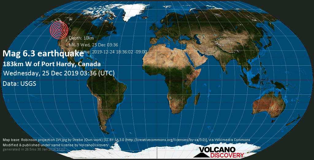
Date & time: Wednesday, 25 December 2019 03:35 UTC
Local time at epicenter: 2019-12-25 03:35:55 UTC
Magnitude: 6.2
Depth: 1.0 km
Epicenter latitude / longitude: 50.573°N / 130.001°W (Canada)
Nearest volcano: Milbanke Sound (232 km)
Primary data source: USGS
Estimated released energy: 1.3*10^14 J (35 GWh / 30089 tons of TNT / 1.9 atomic bombs equivalent) [learn more]
Local time at epicenter: 2019-12-25 03:35:55 UTC
Magnitude: 6.2
Depth: 1.0 km
Epicenter latitude / longitude: 50.573°N / 130.001°W
Nearest volcano: Milbanke Sound (232 km)
Primary data source: USGS
Estimated released energy: 1.3*10^14 J (35 GWh / 30089 tons of TNT / 1.9 atomic bombs equivalent) [learn more]

No comments:
Post a Comment